
The following collection of screenshots gives a good overview of the atlas content and interface level by level.
First level
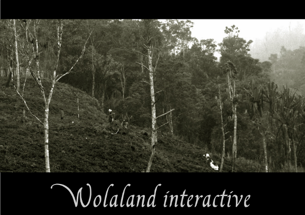
Wolaland Interactive splash screen
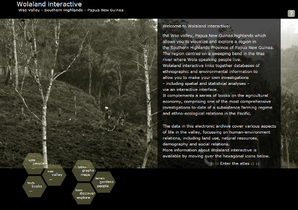
Wolaland Interactive main entrance
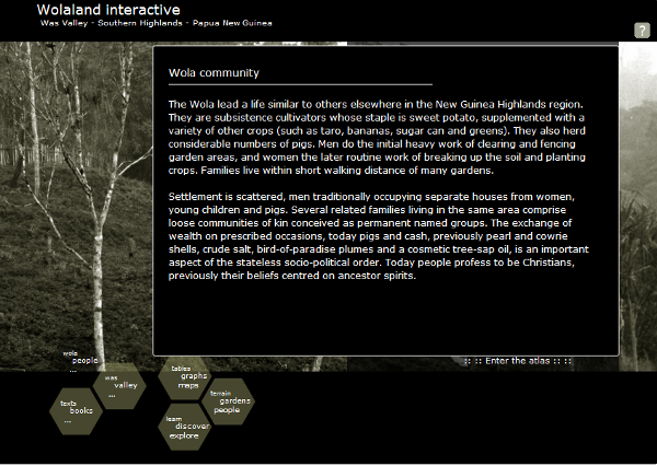
Wolaland Interactive information panels
Second level
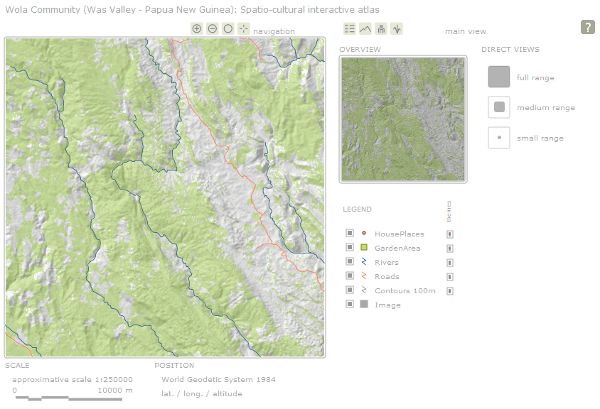
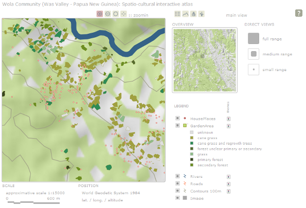
Main board of the interactive atlas
Change zoom and switch off layers
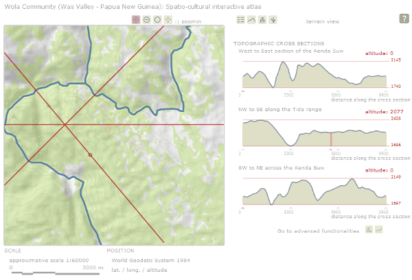
Topography board with predefined profiles
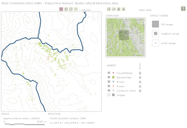
Locate group or family houses
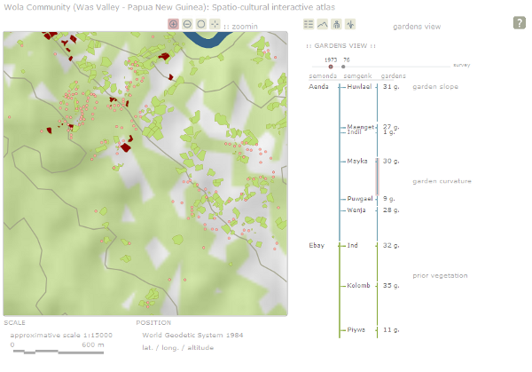
Locate group or family gardens
Third level
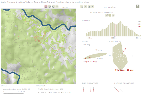
Explore dynamically the terrain morphology
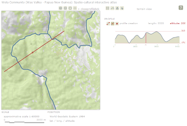
Draw user defined profiles

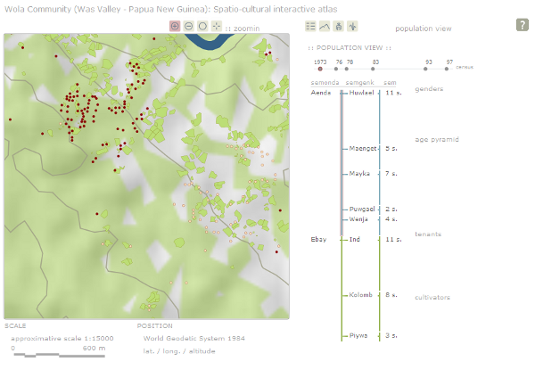
Access rich statistics about the population by groups and families
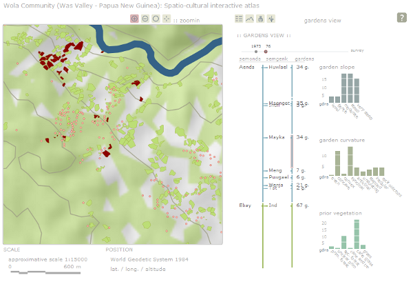
Access rich statistics about the gardens by groups and families
Use thematic colouring of map feature to explore spatial patterns